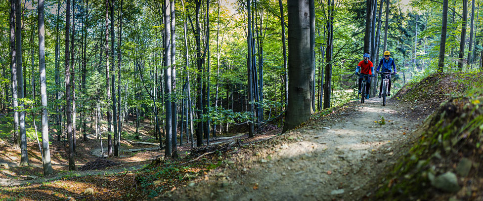
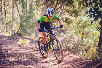
Mountain Biking
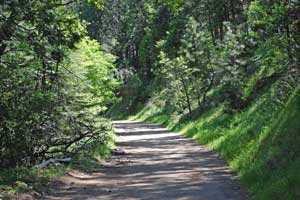
Mountain Biking Sonora Pass Trails ranges from gentle railroad grades to steep, "bombs-away" single tracks. Logging roads make great places to explore. Pick up a Stanislaus National Forest map at the ranger station in Pinecrest. Also get the Toiyabe National Forest map at the Bridgeport Ranger Station. For a dollar each you can get various maps at the bike rental stand in Pinecrest (The Hub).
At the Hub ask them about the Pinecrest Mountain single track, a great downhill, or the whereabouts of any good freeride places. With map in hand, you can discover hundreds of miles of dirt roads great for mountain biking. Of course, no cycling is allowed in wilderness areas, but in most other parts of national forests mountain biking is permitted. Some of the most popular mountain biking routes are shown here.
Shop Amazon:
Mountain Biking Accessories
Sugarpine Railroad Trail
One way: 2.8 miles, moderate
Elevation gain: 500'
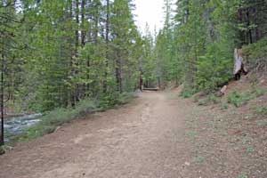
The Sugarpine Railroad Trail follows the course of the old Sugarpine Railroad that was used to deliver timber from remote regions of the forest to sawmills. Today its gentle grade makes it an excellent hiking and mountain biking route. Start at the Fraser Flat Road trailhead. To reach it take the Fraser Flat turnoff from Highway 108 located 6 miles east of Long Barn, just before reaching Cold Springs. Follow the Fraser Flat Road 2.5 miles down to the river.
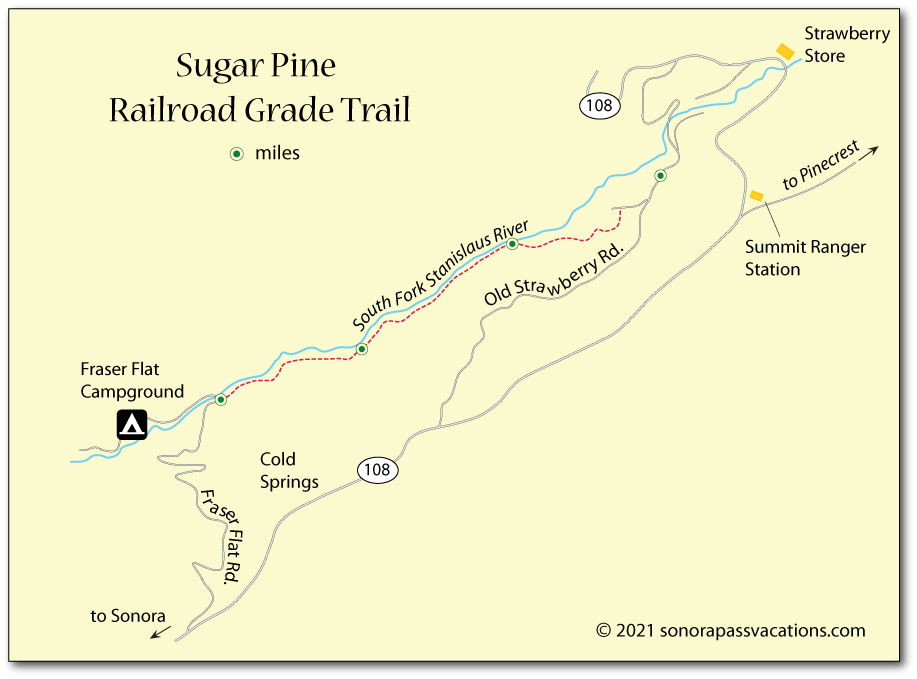
Follow the trail upstream on the south side of the river. It goes about 2.8 miles up to where it connects with Old Strawberry Road. It's only another 1.5 miles farther on the road to reach the Strawberry Store where you can buy an ice cream before heading back.
Instead of returning along exactly the same trail, continue up Old Strawberry Road a little farther to a single-track that cuts off from the road. It soon connects with the railroad grade and will lead you back to Fraser Flat.
You'll discover some other great mountain biking trails in Northern California in Delaine Fragnoli's Mountain Biking Northern California's Best 100 Trails.
Confidence to Lyons Reservoir - Railroad Grade
One way: 4.7 miles, moderate
Elevation gain: 200'
This trail provides a gentle 4.7-mile climb to Lyons Reservoir following the old sugar Pine Railroad grade, great for mountain bikers. At an elevation of about 4,000', it is usually open by late spring. To reach the trailhead, take the Confidence South Fork Road off Highway 108 near Confidence. A short distance past Middle Camp Road the trail begins on your right. Watch for a gate.
In places it may pass through private property, so be sure to stay on the trail to respect property owners' rights. You can ride along dirt roads around the reservoir or explore connecting roads to other places.
Cedar Ridge
One way: 2.5 miles, moderate
Elevation loss: 200'
Strap on your helmet for this 2.5-mile mountain bike ride along the old Columbia and Stanislaus River Water Company ditch line. To reach the starting point take Twain Harte Dr. out of Twain Harte and follow it to Joaquin Gulley and then .5 miles to Mt. Elizabeth Road. The ditch road is on your left. It winds along the hillside to Cedar Ridge where you find yourself on paved roads again. A maze of dirt roads on Mt. Elizabeth offers more challenging mountain bike rides.
Koenig Lake
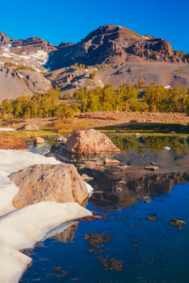
Leavitt Lake
One way: 3 miles, moderate
Elevation gain: 1,200'
On Highway 108 on the east side of Sonora Pass, watch for the Leavitt Lake turnoff about 4 miles east of the pass. Park there at the turnoff and set out on your ride which takes you 3 miles and 1,300' up a dirt road (sometimes muddy in places in the spring) to Leavitt Lake (elevation 9,556').
A one-mile side road leading up to scenic Koenig Lake is well worth exploring. Strong forks and a sturdy frame will serve you well on some of the rougher sections.
Poore Lake
One way: 6.5 miles, moderate
Elevation gain: 500'
On Highway 108 on the east side of Sonora Pass, park at a turnout about three-quarters of a mile west of Sonora Junction (Highway 395). The mountain bike ride takes you along dirt roads past a series of lakes - Junction Reservoir, Kirman Lake, Mud Lake, and finally up to Poore Lake. Several connecting roads allow for variations in your route.
Herring Creek Loop
Total ride: 12 miles, moderate
Elevation gain: 1000'
This 12-mile mountain bike loop follows dirt roads from the Herring Creek Campground up to the headwaters of Herring Creek, past Bloomer Lake and then down through Three Meadows and back around to your starting point. A good route for intermediate riders that will give you a great workout. Other connecting trails lead up to Pinecrest Peak, the beginning of a single-track route (pick up the map at the Hub in Pinecrest).
Hull Creek to Clavey River
This 9-mile trail traces the route of the old West Side Lumber Company's railroad line. Trails on old railroad routes guarantee an easy grade. This mountain bike trail, however, is tricky to reach and at times difficult to follow. It is for the adventurous who have good directional skills and carry maps and compass or a GPS.
From Long Barn take the North Fork Road or the Merrill Springs Road (they soon meet). Follow the Merrill Springs Road toward Hull Creek and Clavey River. Cross the North Fork of the Tuolumne River and go 6 miles where you pick up Forest Service Road 3N07. Look for a sign marking the West Side Rail Tour.
For more information about this location, see
Trail Link
(Note: You must register at their free site to use it.)